


KODIAK Voting District, Maricopa County, Arizona
About
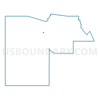
Outline

Summary
| Unique Area Identifier | 524028 |
| Name | KODIAK Voting District |
| County | Maricopa County |
| State | Arizona |
| Area (square miles) | 0.59 |
| Land Area (square miles) | 0.58 |
| Water Area (square miles) | 0.00 |
| % of Land Area | 99.27 |
| % of Water Area | 0.73 |
| Latitude of the Internal Point | 33.64747250 |
| Longtitude of the Internal Point | -112.34724760 |
Maps


Graphs
Select a template below for downloading or customizing gragh for KODIAK Voting District, Maricopa County, Arizona


Neighbors
Neighoring Voting District (by Name) Neighboring Voting District on the Map
- CONQUISTADOR Voting District, Maricopa County, AZ
- COPPERSTONE Voting District, Maricopa County, AZ
- HILLCREST Voting District, Maricopa County, AZ
- SHADOW HILLS Voting District, Maricopa County, AZ
- SPANISH GARDEN Voting District, Maricopa County, AZ
- SUMMERSTAR Voting District, Maricopa County, AZ